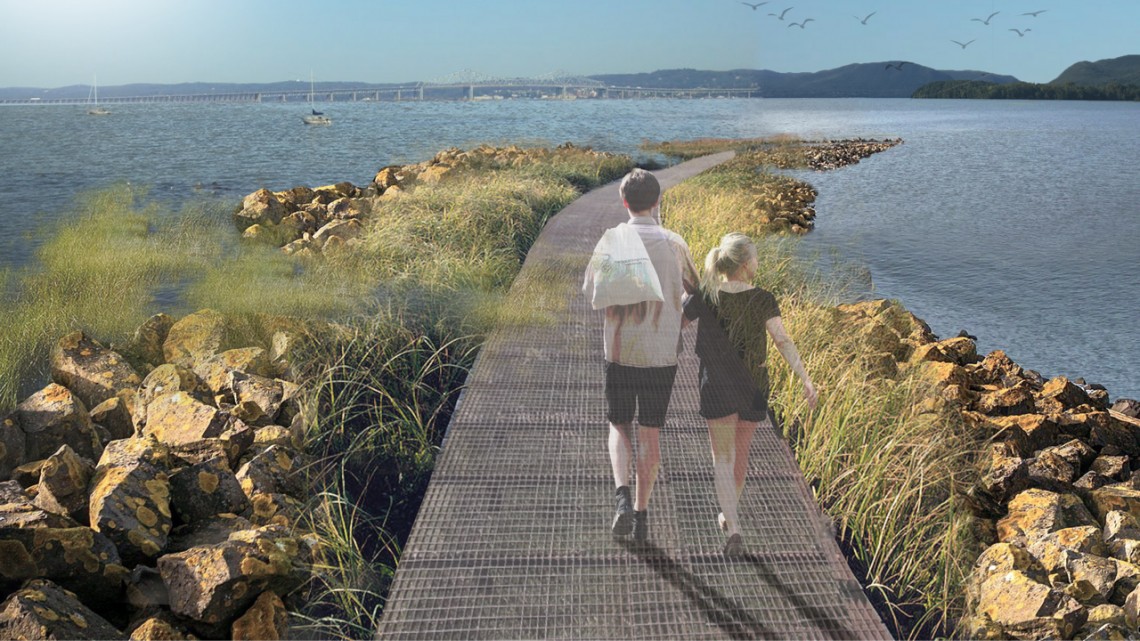
A pedestrian and walking path atop breakwaters, shown in this rendering, could encourage wetland growth and protect Piermont from storm debris.
Students envision future of Hudson River town confronting flooding
By Blaine Friedlander
PIERMONT, N.Y. — Sometimes, it takes a village – to save itself.
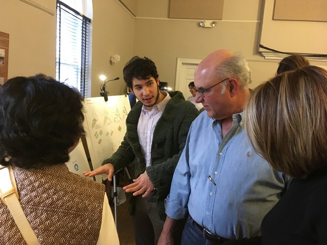
Residents of Piermont are staring down the barrel of climate change, as Hudson River flooding begins to encroach their waterfront streets. Cornell undergraduates presented concepts at a Dec. 12 open house on how to handle the environmental incursion.
“As residents, we don’t usually ask other people for help, but what we’ve found out is that we’re facing problems that we can’t solve,” said Vincent O’Brien, a former village trustee, who attended the Cornell students’ poster session. “We’re seeing these students, these new creative thinkers, put their arms around these problems with us. They’re opening the door to helping Piermont not only see the future, but to lead us into the future.”
Piermont is a cozy, attractive, low-lying village of 2,500 residents on the Hudson River’s western shore, within sight of the new Gov. Mario M. Cuomo Bridge, replacement for the Tappan Zee Bridge. The town’s area totals about seven-tenths of a square mile, and its topography features steep hillsides stretching down to the river. Piermont’s downtown sits along the waterfront, which is subject to tidal fluctuation, storm surge and projected sea level rise.
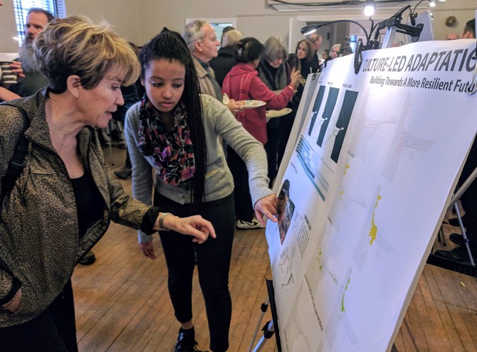
Residents packed Village Hall to see the landscape architecture, urban planning and engineering students’ ideas from the Landscape Architecture 4010 course, the Climate-adaptive Design (CAD) studio.
Erin Tou ’18, Cristian Umaña ’18 and Trevan Signorelli ’18 designed a canal through town where, without remediation, waterfront streets will be flooded by sea level rise. They imagined a pedestrian network and a new commercial pier to compensate for downtown property losses. “We wanted to incorporate water into Piermont not as a threat, but as a way to redefine the town,” said Umaña. “Bringing the water into the urban fabric, we hope that people can develop a new relationship with the water – for opportunities for businesses to arise.”
The group aimed to improve Piermont’s walking and biking connections, keeping automobiles on the periphery of town, said Tou.
In the Piermont Nexus project, Shaun Wu ’19, Woo Young Choi ’18 and Yiren Du ’18 imagined using debris from the nearby bridge project to fill vulnerable parts of downtown to create an elevated waterfront district, mixed-use development and pedestrian access.
Two teams called for neighborhoods of “amphibious homes” that remain stationary but float on water.
“We needed vision. I love the notion that some of the designs are really not going to change the feeling of the village. They’re just going to make it resilient,” said resident Vivian Resnick. “There’s a design that looks like Venice or the Netherlands that allows water to come and go.”
Resnick noted that some designs surrendered to the inevitable loss of land. “There is a notion that some areas cannot be saved. We have to live with that, and we have to be realistic,” she said.
Students also paid homage to the arts. In the project Culture-Led Adaptation, Yuchen Tong ’18, Edna Samron ’18, Caterina Brescia ’18 and Najila Ahsan ’18 propose a spiral shaped museum in vulnerable areas. In a project called [Re]appearing Piermont, Sage Magee ’18, Blake Enos ’18 and Jacob Kuhn ’18 suggested building elevated pedestrian walkways, flood-proofing for the lower floors of waterfront buildings and relocating commercial spaces to the second floors of buildings. Over time some of the streets would transition into swales to “transform the downtown into a climate-resilient pedestrian zone without sacrificing commercial space.”
In terms of sea-level rise, The New Beginning project by Naixin Ren ’18, Abdulaziz Alrifaie ’18 and Lucas Bulger ’19 propose a flood-gate equipped levee to protect vulnerable neighborhoods, and a bike path sitting atop breakwaters that encourage wetland growth and protect Piermont from storm debris.
Josh Cerra, associate professor of landscape architecture, teaches the CAD studio, and research fellow Graham Smith coordinates student activity. Cerra also is a fellow in Cornell’s Atkinson Center for a Sustainable Future. The class made two field trips to Piermont earlier in the semester. Libby Zemaitis, climate outreach specialist for New York State Department of Conservation (NYSDEC), coordinates efforts between the class, NYSDEC and other technical partners.
The New York State Water Resources Institute funds the CAD studio research and outreach program, while Cornell’s Office of Engaged Initiatives helps fund cross-course collaboration between the CAD studio and the watershed engineering course taught by Todd Walter, professor of biological and environmental engineering. Engaged Cornell is funding additional research to evaluate the effectiveness of the CAD program in providing benefits for communities, students and faculty.
Lisa DeFeciani, a village trustee and chair of the Piermont Waterfront Resilience Task Force, said: “We’re hoping that with these designs – some are very futuristic – we can put together a master plan for the village. We want to secure some grants and funding, so that we can put some of these designs into place.”
Village resident Klaus Jacobs, a research geologist at Columbia University, said the students’ work comes at a pivotal point: “Without those visions to get projects started, this would be basically impossible. This is a very crucial step in a long process that would be much harder if we hadn’t had [these ideas] from Cornell.”
Media Contact
Get Cornell news delivered right to your inbox.
Subscribe
