Maps show New York counties’ COVID-19 vulnerability
By James Dean
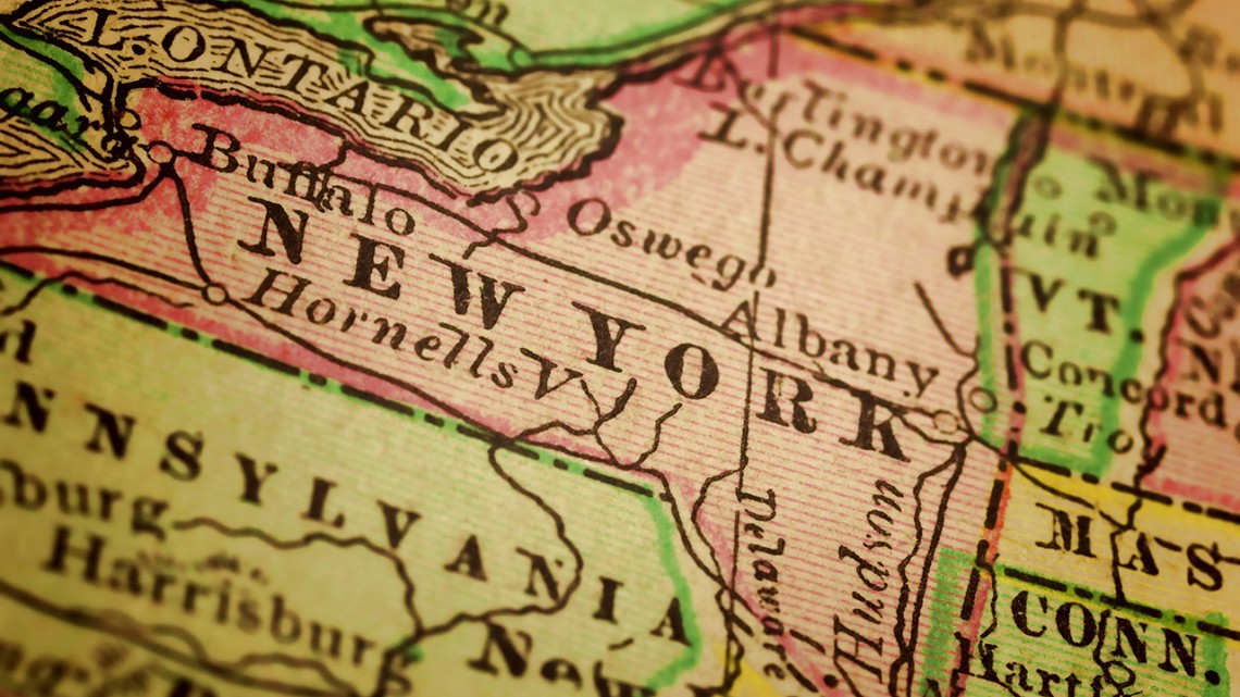
While New York City remains the U.S. epicenter of the coronavirus pandemic, some rural upstate counties may be the state’s most vulnerable if they experience a localized outbreak, a Cornell analysis shows.
Demographers from the Cornell Population Center (CPC) and the Cornell Program on Applied Demographics (PAD) ranked New York’s 62 counties according to risk factors known to complicate cases of COVID-19, including age, living arrangements and underlying health conditions.
The results present “a cautionary tale,” said Matthew Hall, associate professor of policy analysis and management in the College of Human Ecology.
“If the more rural parts of the state don’t strictly follow the social distancing guidelines that the governor has put in place,” Hall said, “then the potential health consequences of a COVID outbreak are serious.”
The team produced its rapid report and mapping tool to assist county officials with preparedness planning; members are working with state health policy and data analytics experts to communicate findings and incorporate more data.
The initial version presents a pair of interactive maps depicting counties ranked by demographic and health vulnerability, based on risks the Centers for Disease Control and Prevention has said are associated with COVID-19 complications and hospitalizations.
“These risks do not necessarily accelerate COVID-19 case trajectories, but have the potential to compromise the capacity of local health and social service infrastructures at peak transmission,” according to the report.
Risk factors contributing to demographic vulnerability include the percentages of residents who are age 80 and older; who are disabled; who live in group facilities including nursing homes, jails and dormitories; and who live in households with both grandparents and grandchildren.
By those measures, Hamilton County in the Adirondacks is the state’s most vulnerable to a potential COVID-19 outbreak – due to its high older and disabled populations – followed by Essex, Otsego, St. Lawrence and Allegany counties.
Risk factors contributing to health vulnerability include the percentages of adult residents with conditions including asthma, cardiovascular disease, diabetes and high blood pressure, and rates of smoking and obesity.
Those statistics place Montgomery County at highest risk relative to others in the state, followed by Cattaraugus, Chemung, Franklin and Seneca counties.
Statewide, there is only a moderate link between demographic and health vulnerability, Hall said, but a handful of counties rank in the riskiest quartile in both categories: Allegany, Chenango, Clinton, Orleans and Seneca.
“While the metro New York City area has borne the brunt of New York state’s crisis, the parts of the state that are likely to be most vulnerable are in rural upstate, particularly in the Adirondack and Chautauqua-Allegheny regions,” the report states.
Somewhat paradoxically, hard-hit New York City and its environs have low vulnerability scores using these metrics. That’s because they have relatively younger populations with fewer underlying health complications, Hall said – as does Tompkins County, home of Cornell’s Ithaca campus.
The report does not seek to explain the factors contributing to the virus’s spread – which relate partly to the density of an area’s population and social networks, Hall said – but rather to highlight which areas might be most vulnerable to a new outbreak.
“If there were to be an outbreak and if social distancing were to be relaxed,” Hall said, “then those areas upstate have the kind of the underlying demographic and health conditions that could overwhelm their health systems.”
Planned map enhancements are expected to add the numbers of intensive care unit and other hospital beds by county, improving understanding of how one county’s vulnerability could affect neighbors.
The mapping tool accompanying the report also provides real-time tracking of confirmed COVID-19 cases and deaths by county.
In addition to Hall, project participants include PAD staff researchers Warren Brown, Jan Vink and Adriana Hernandez, and Karl Pillemer, the Hazel E. Reed Professor in the Department of Human Development, professor of gerontology in medicine at Weill Cornell Medicine and senior associate dean for research and outreach in the College of Human Ecology, which contributed funding to the effort.
“We envision that local planners, health departments and community groups will find interest in the data for better preparation,” Hall said.
Media Contact
Get Cornell news delivered right to your inbox.
Subscribe